
CONCRETE SCANNING & SUB-SURFACE MAPPING IN SAUDI ARABIA
Soft Cut uses GPS-enabled Radar Scanning and GPR (Ground Penetrating Radar) technology to map hidden utilities, reinforcement, and subsurface conditions—providing accurate insights for safer cutting, drilling, and excavation across Saudi Arabia.
Our Specialized Services
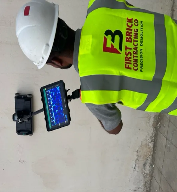
Concrete Scanning
Know What Lies Beneath—Accurate Concrete Inspection for Safer Cutting, Drilling, and Construction.
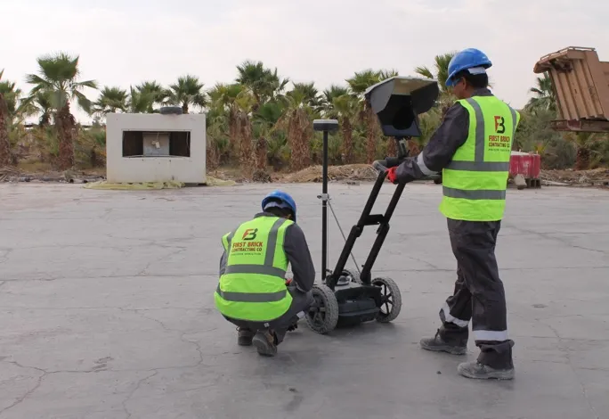
Sub-Surface Mapping for Underground Utilities
Mapping Hidden Assets Beneath the Surface with Precision—Revealing Underground Utilities and Subsurface Conditions Before Excavation
CONCRETE SCANNING
Concrete scanners using Ground Penetrating Radar (GPR) are non-destructive imaging devices that emit high-frequency electromagnetic pulses to look inside concrete structures. GPR scanners to map embedded objects, determine slab thickness, and locate hidden voids before cutting, coring, or drilling.
SURFACE MAPPING FOR UNDERGROUND UTILITIES
Ground Penetrating Radar (GPR) is a non-destructive, non-invasive geophysical imaging technology that uses high-frequency radio wave pulses to map objects, structures, and variations hidden beneath the earth's surface or inside materials like concrete. The system calculates the depth and coordinates of these underground anomalies, displaying them on a screen.